


Above Everywhere are licensed & insured aerial video & photography specialists. Utilising remote-controlled quadcopters / multi-rotor UAVs / drones.
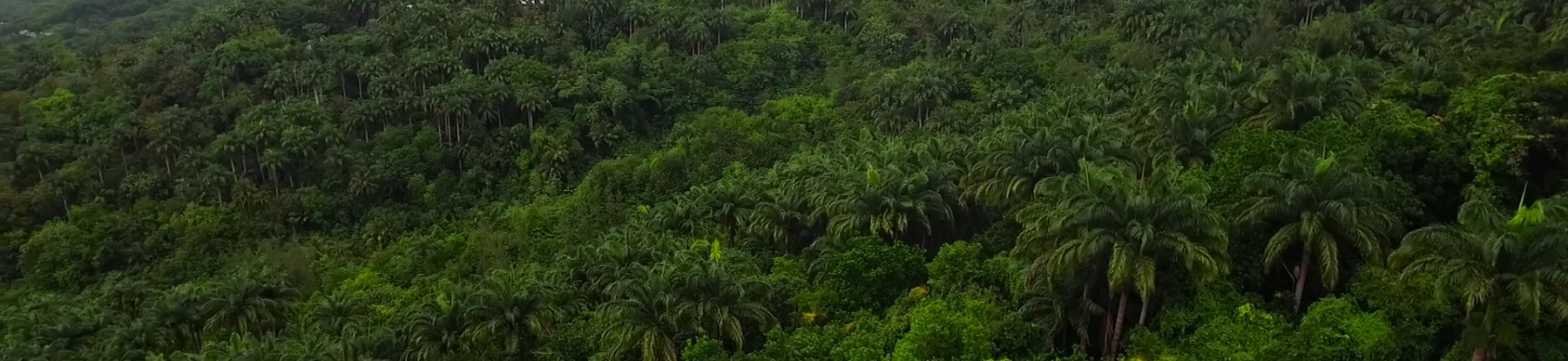
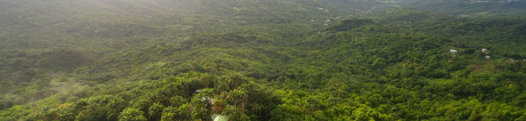
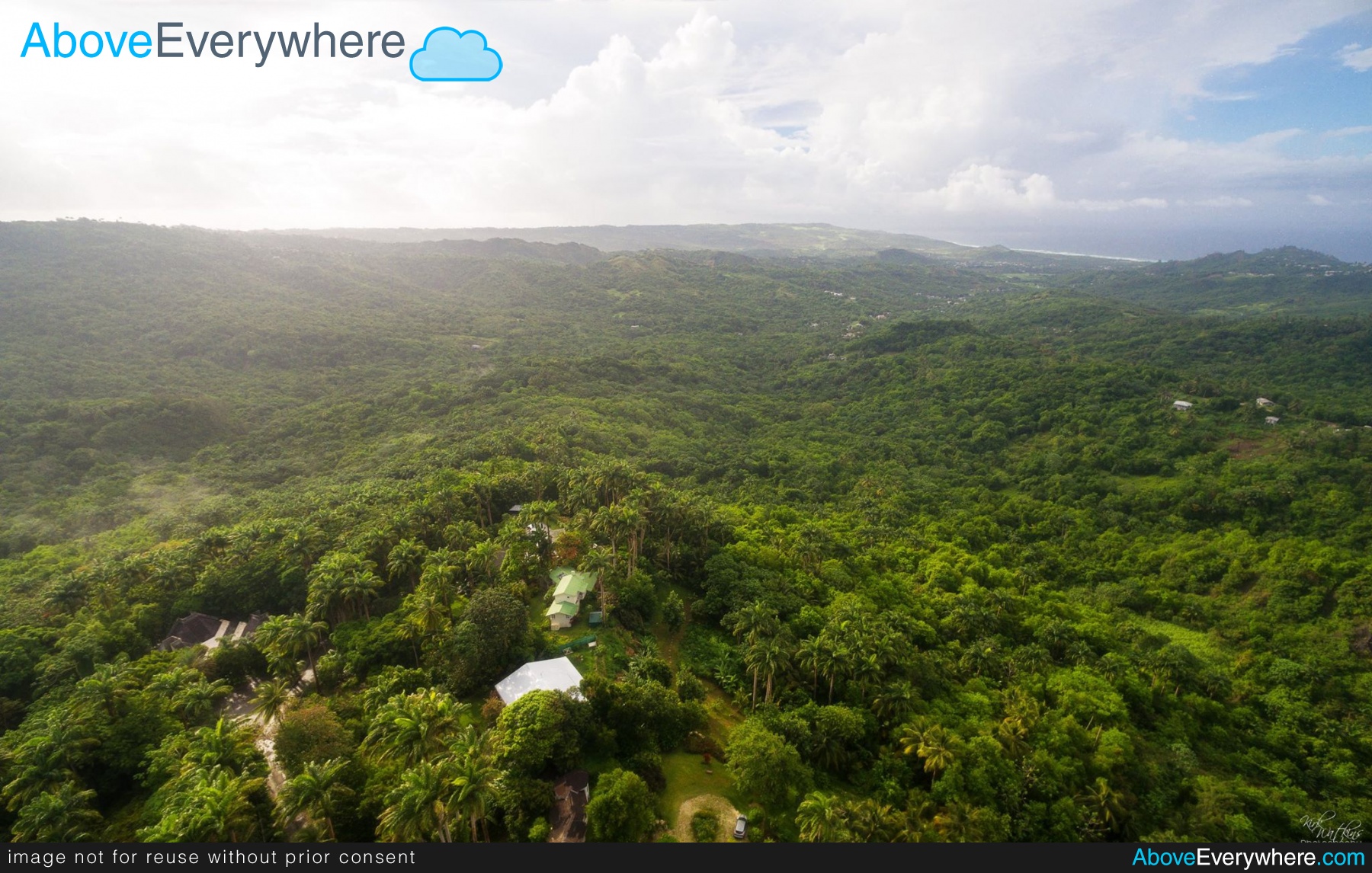
Above Barbados were asked to aerially survey a large area of land in Saint Joseph, Barbados. The property was not yet cleared and extensively covered in vegetation so it was particularly difficult to navigate fully in any form on the ground - the perfect opportunity for a drone solution!
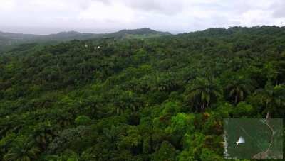
Using a combination of manual flying and pre-programmed flight paths the entire expanse of the property was filmed from all the requested angles through 9 seperate flights. Our flight planning software allows us to visually plot flight paths on a map, planning and rehearsing the complete route, including elevations and camera directions, before even leaving the ground.
Once complete, post processing was carried out on the collected resources - using the recorded aerial videos and the saved flight path data we overlaid a live, updating map display on the videos showing the drone path and viewing direction to ensure the viewer knew the exact locatrion of each video/clip - of particular use given the extensive vegetation at the property.
See our stock portfolio of video and stills on Getty and iStock
Above Everywhere are a registered, licensed and insured operator of UAV/drones in Barbados, the Caribbean region and worldwide.
Contact us on +44 (0)7570 35 40 45 or info@aboveeverywhere.com to discuss any aerial needs you have!